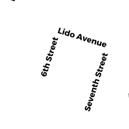
222 SIXTH ST
Owner Information
LO JACK
222 SIXTH ST
LEOMINSTER, MA 01453


Property Details
222 SIXTH ST is classified as a Three-Family Residential (Three family).
The primary structure on this property was built in 1900. There are 4068ft2 of built area within this property. There is 2162ft2 of residential/living space within this property. This property is listed as having 12 rooms.
222 SIXTH ST is valued at 291700. The land is valued at 86000 and the structures are valued at 205700.
This property is in Zone RB. Confirm with local Zoning Board authorities to ensure there are no overlays or other easements on this property.
The most recent deed for 222 SIXTH ST is recorded at the local registrar in Book 5492, Page 229. 222 SIXTH ST was last sold on 2004-11-15 for 0.
Assessment data from fiscal year 2021.
Flood Data
According to the FEMA National Flood Hazard Layer, this property does not appear to be in a flood zone. It may also be in an area not yet reviewed. Nonetheless, confirm this information prior to taking any action.
To view the flood hazards around this property, create a FEMA "Firmette" Map of the area around 222 SIXTH ST.
Broadband Internet Providers
| Provider | Type | Bandwidth (mbps) | |
|---|---|---|---|
| Comcast | Cable | 1000 | 35 |
| Viasat Inc | Satellite | 100 | 3 |
| Verizon New England Inc. | DSL | 15 | 1 |
| Verizon New England Inc. | Fiber | 940 | 880 |
| GCI Communication Corp. | Satellite | 0 | 0 |
| HughesNet | Satellite | 25 | 3 |
| VSAT Systems, LLC. | Satellite | 2 | 1 |
Broadband service provider data from December 2020.
Adjacent Properties
- 229 SEVENTH ST
Two-Family Residential owned by GOGUEN CAROL A - 225 SEVENTH ST
Two-Family Residential owned by LANZA BARBARA A TR - 224 SIXTH ST
Two-Family Residential owned by SAVOIE GARY A ETUX - 216 SIXTH ST UNIT 6
condo owned by STAPLES JOHN M - 216-216 SIXTH ST UNIT
Other, Open Space owned by None - 216 SIXTH ST UNIT 1
condo owned by WANCURA, JOSHUA N - 216 SIXTH ST UNIT 2
condo owned by DYKES MARCIA A ETAL - 216 SIXTH ST UNIT 3
condo owned by KOTLYAR MARINA - 216 SIXTH ST UNIT 4
condo owned by COLEY CHANTE - 216 SIXTH ST UNIT 5
condo owned by REYNOLDS CASEY L ETAL - 217 SEVENTH ST
Two-Family Residential owned by AGYEMAN KOFI B ETAL